Home

NAVIGATION
In the field, follow the guide!
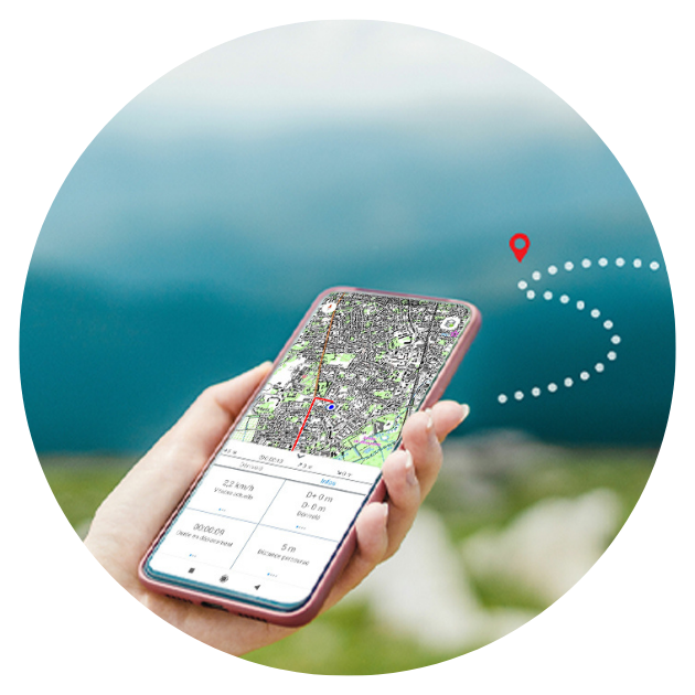
Thanks to your smartphone's GPS function, enjoy guidance to reach the starting point.
Once on the route, track your progress along the path and stay on the right track with the warning system in case you stray from the course.


SAFETY
Enjoy a safe hike.
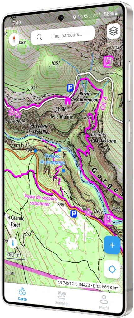
For greater safety in nature, rely on the accuracy of IGN topographic maps, slope mapping display, and mobile network coverage areas.
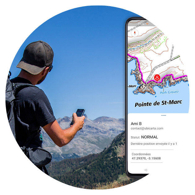
You can also share your real-time location with your loved ones or rescue teams through meeting points in the forest or the DFCI grid system.
THE MOST POWERFUL
Specifications
With the WeTrek app, the experience is complete. From preparation to sharing experiences and on-the-ground navigation, you have all the tools you need to enjoy beautiful hikes across France.
Platform Compatibility: Android, Apple iOS

Help
Explore our Help Center for video tutorials, step-by-step guides, and other resources to make the most of our app!
FROM BUYERS
Reviews

Hike the Trails with Confidence,
Discover Nature Safely!

Contact us
Feel free to send us any questions you may have.
We will be happy to answer you.


